A mini-tornado in Daylesford, Victoria, Australia
2015-10-18 Robin Whittle
rw@firstpr.com.au
On the evening of 28th February 2015, a thunderstorm with a mini-tornado passed through Daylesford.
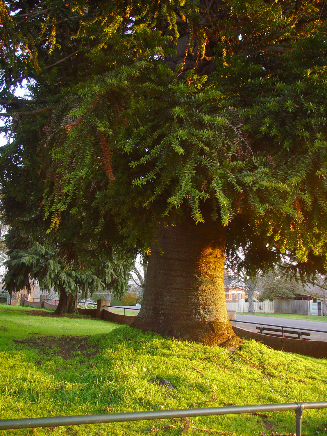
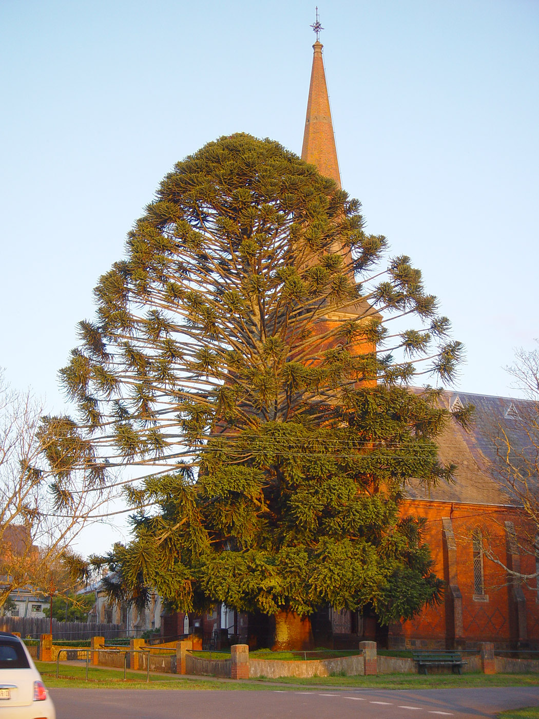
It broke the Bunya Pine, generally but incorrectly known as the Monkey
Puzzle Tree, which was in the front garden of the Uniting Church.
Everything above about 6
metres was separated and lying on the footpath and road. Photos
of the fallen tree are on the Advocate website.
These are photos from 14th August 2014.
This is one of several pages concerning Daylesford and places nearby. The index for those pages is here: ../.
The Bunya Pine is native to Queensland, mainly southern Queensland:
They are perhaps best known for their large pine cones, which are both
edible and potentially lethal - they can weigh 10 kg and be 30cm
across, so if one fell on someone's head . . . According to this story
they may only produce cones once every 10 or 15 years. One of the
intriguing theories about this species is that its seeds were adapted
for dispersal by being eaten by now-extinct megafauna. More
detailed information is here:
This tree was growing on the slope of Wombat Hill, a
scoria cone volcano - one of the hundreds in the Newer Volcanics
Province, which stretches to Mt Gambier. See another page in this set
for geological and volcanic information. The altitude here is
close to 2,000 feet.

A fellow told me tonight that it was an old tree when he was growing
up. I guess he's ten years older than me, and I was born in 1955.
There is at least one other tree which looks like this
in the
Daylesford Botanical Gardens on Wombat Hill, but it is not as big and
beautifully
formed as this one was. Another one, again not as big, but in
beautiful shape, can be found near the Gardens, if I recall correctly,
on the west side of Daly St, about 60m north of Central Springs Rd.
The gardens have many splendid North American conifers, including
Californian Redwoods and Sequoia. These trees are hardly ever
seen in Australia, though there are a few in the Ballarat Botanical
Gardens. There are many of them around Daylesford - not just in
the Botanical Gardens, where they thrive in the rich volcanic
soil, cooler climate and relatively high rainfall, despite being
exposed to the wind.
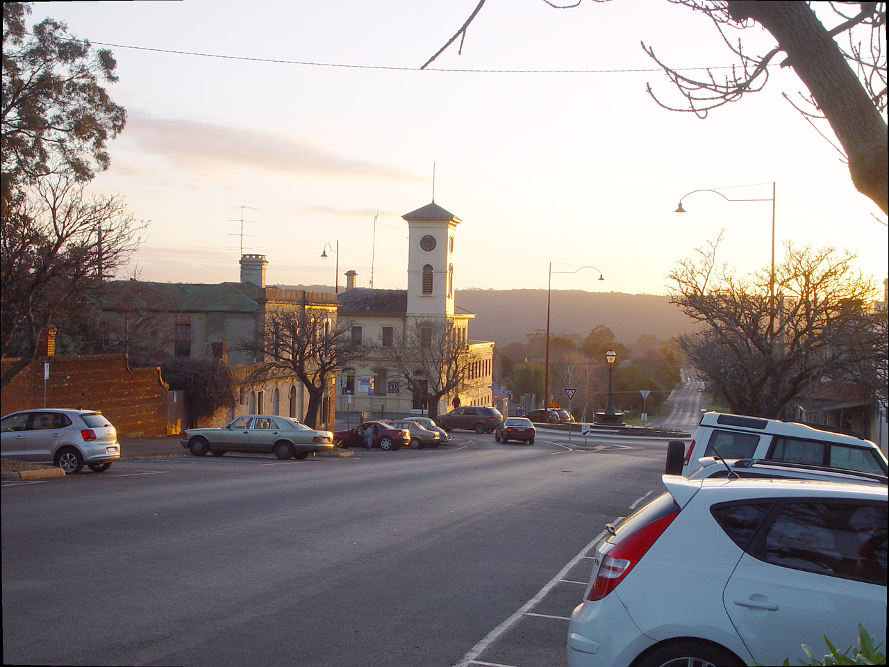
Here is a view from across the road, looking west.
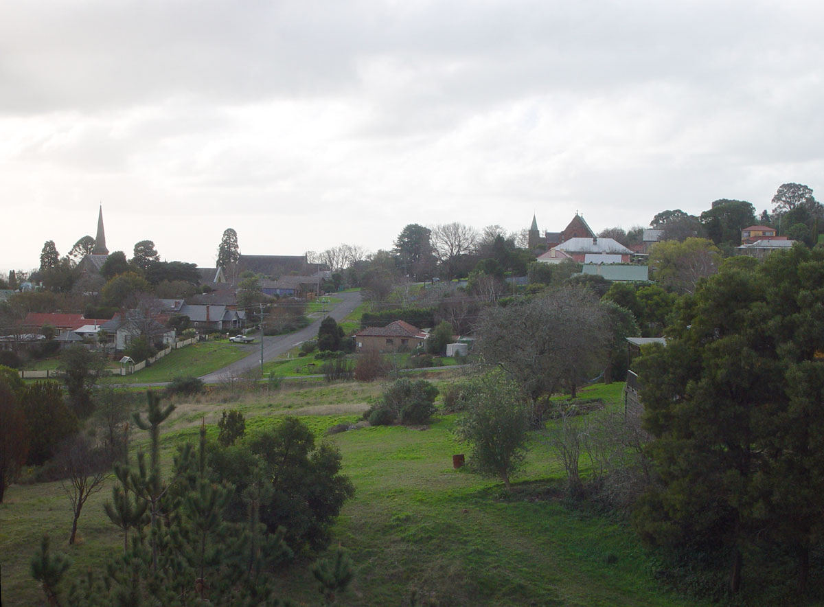
The tree can be seen behind to the spire on the left, in this view
from Cornish Hill lookout, facing north-north-west, on 29th June 2014.
The path of this particular "mini tornado" could easily be seen the next day.
My wife Tina and I were at a concert at the Anglican church in Central
Springs Rd, half-way up Wombat Hill. At the door of the church,
we heard no rhythmic whirling or
sudden silence as apparently happens with big (think Texas, Oklahoma .
. .) tornados. Nor did we see any conical or circular patterns in
the atmosphere. However we did later speak to someone who heard a
rhythmic, circular motion of air.
The pattern of the worst damage is narrow - a path 50 to 70m
wide. So it must have been some kind of circular pattern of wind,
like a tornado.
I guess there were multiple such circular concentrations of wind
energy. There were signs of such a path of damage just south of
Bleakley St in the southern part of the lake.
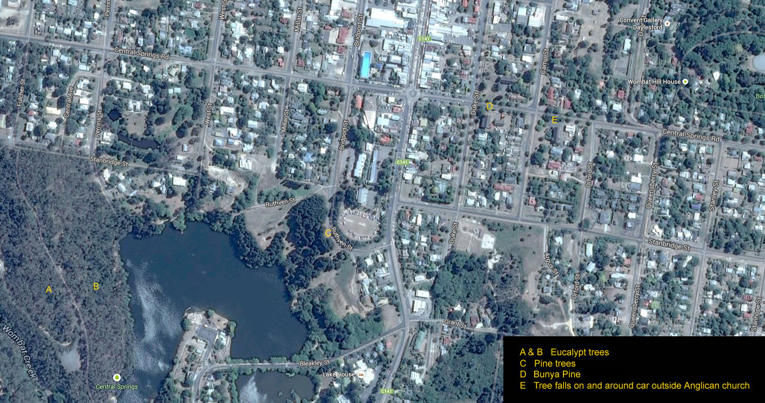
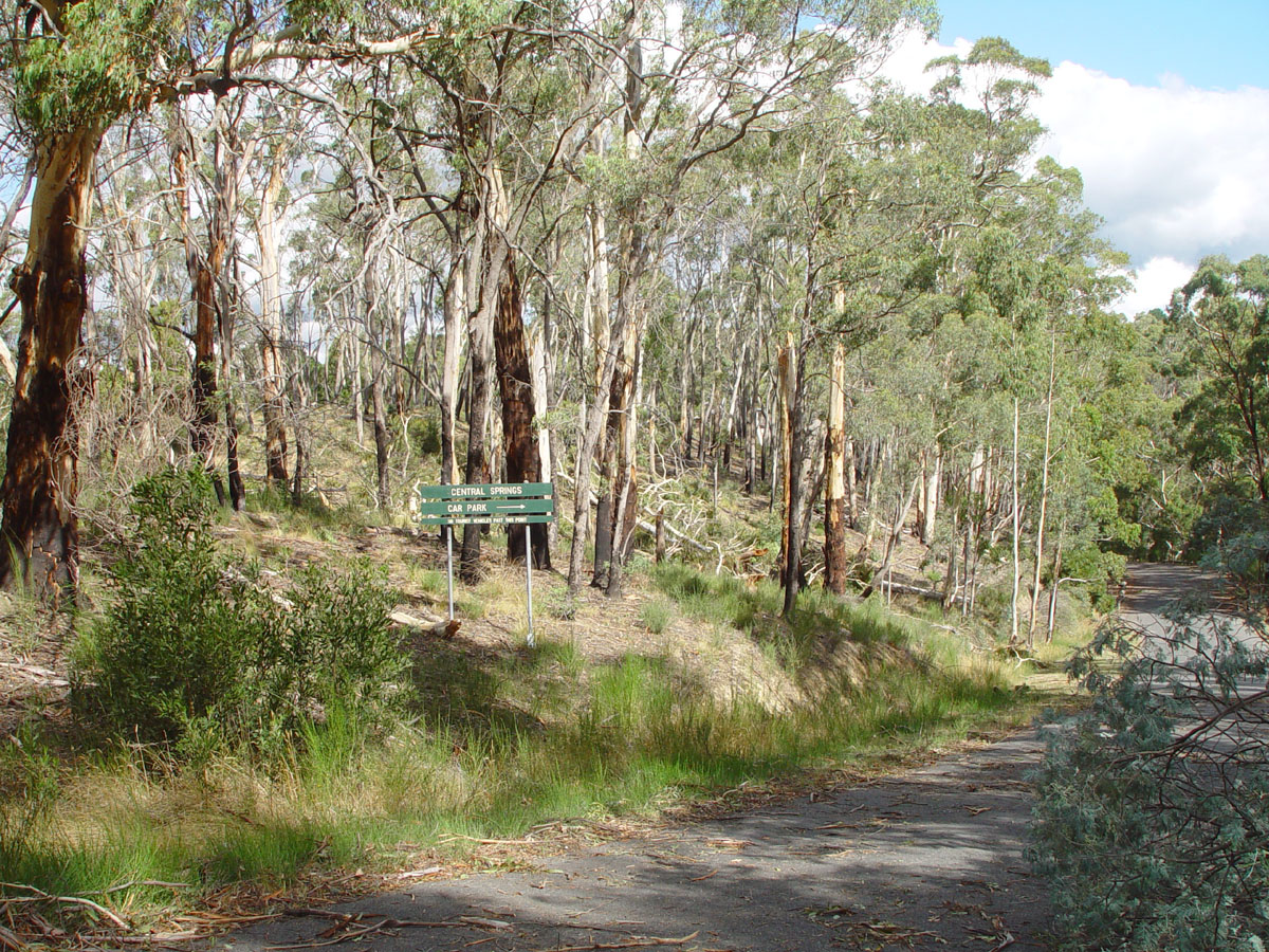
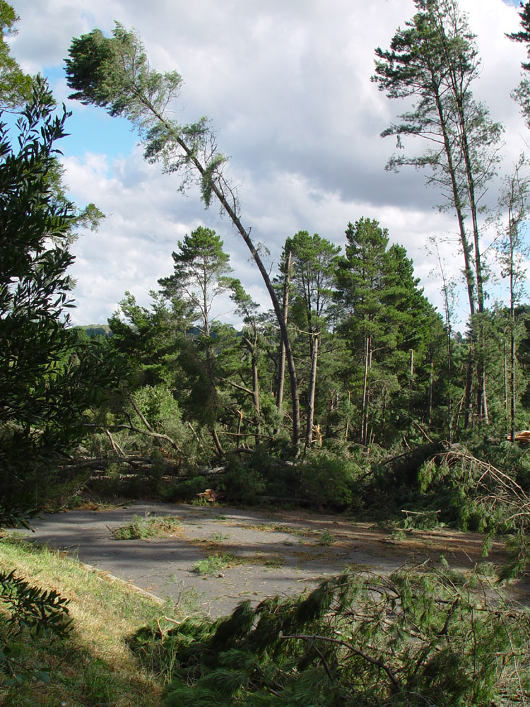
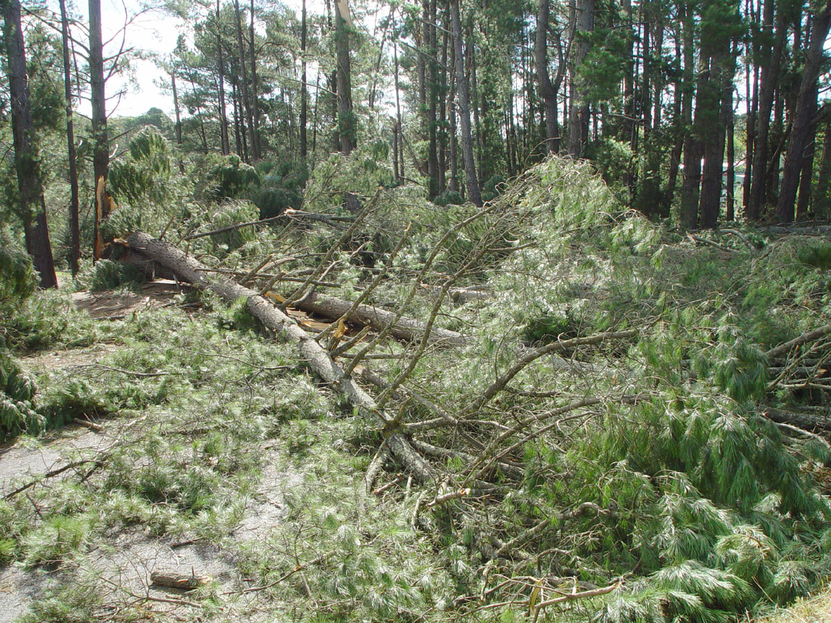
A Just north of the Central Springs upper carpark. The trees have been blown over to the south-east.
B Looking east or south east over the road to Central Springs.
B Looking east or south east.
B Looking west or north west over the same area as the previous photo.
B
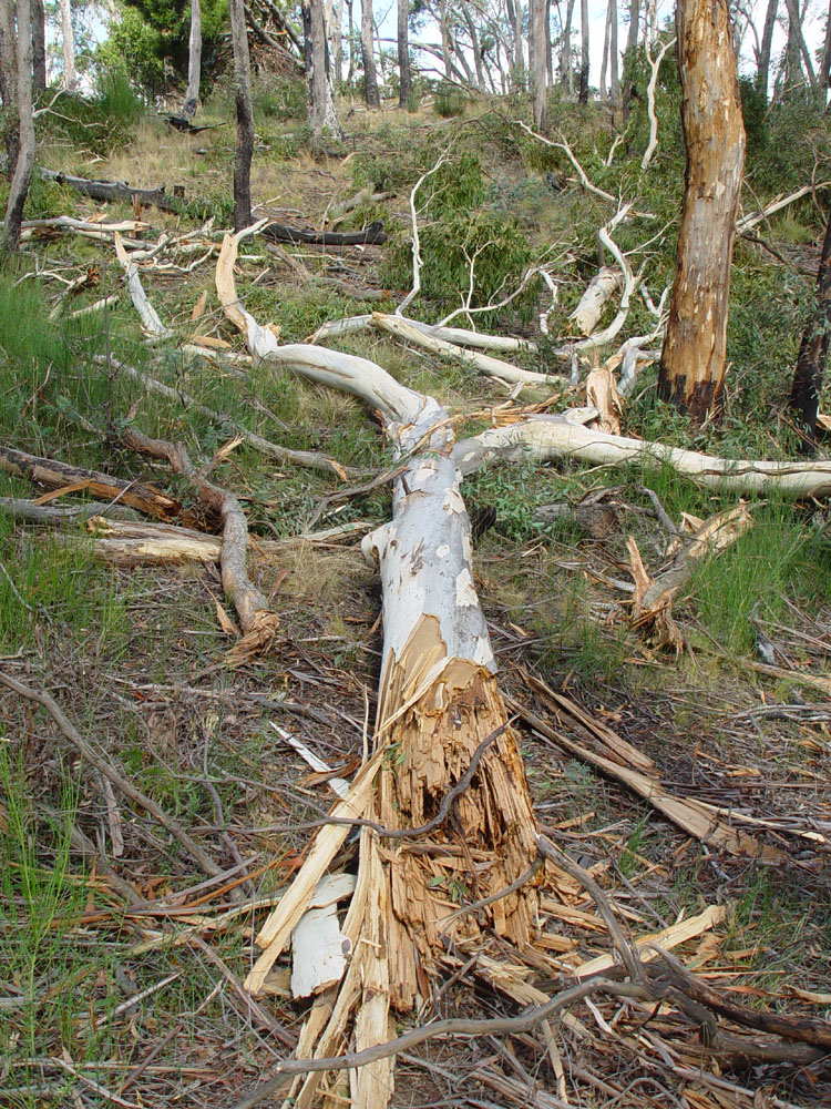
These were perfectly healthy trees, not just blown over, but snapped
half-way up their trunk, and broken up either due to forces in the air
or due to being flung so hard on the ground.
C
Looking east across the lake. Above and to the right of the
lamp-post are the broken trunks of pinus radiata (Monterey Pine) trees,
leading up to Ruthven St and the oval of the State School.
On the right, with the slate roof, is the Anglican church.
C
I don't recall any trees being bent like this before the storm.
The two piles of trees are about 50 to 70 metres apart. This is
looking south, over Ruthven St, with the oval behind and to the left.
In September this entire area was cleared of debris and remaining trees.
C I
would rather take my chances with these rare and narrow paths of
destruction, than with the broad swath of damage which results from
cyclones on the Queensland coast.
Such distinctions would
be academic if you were unlucky enough for forces like this to hit your
home, as did occur in our area, and as occurred in the Dandenongs,
killing a child.
The path of destruction leading to the above sites goes back to the
west-south-west, where the "mini tornado" evidently followed the power
line clearing, to the east-north-east of this house which
suffered damage to its roof. There was some damage to trees in
the Botanical Gardens, but nowhere near as much as in the sites
pictured above.
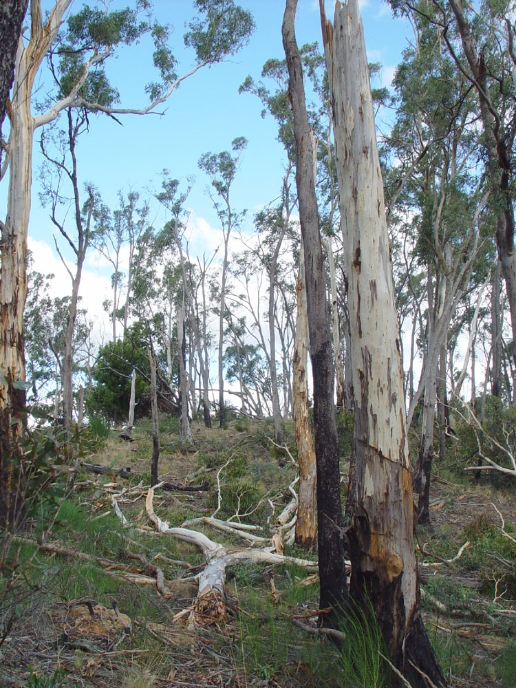
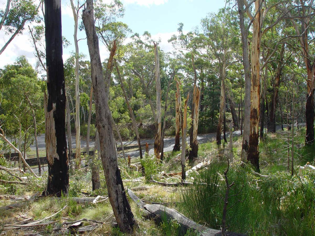
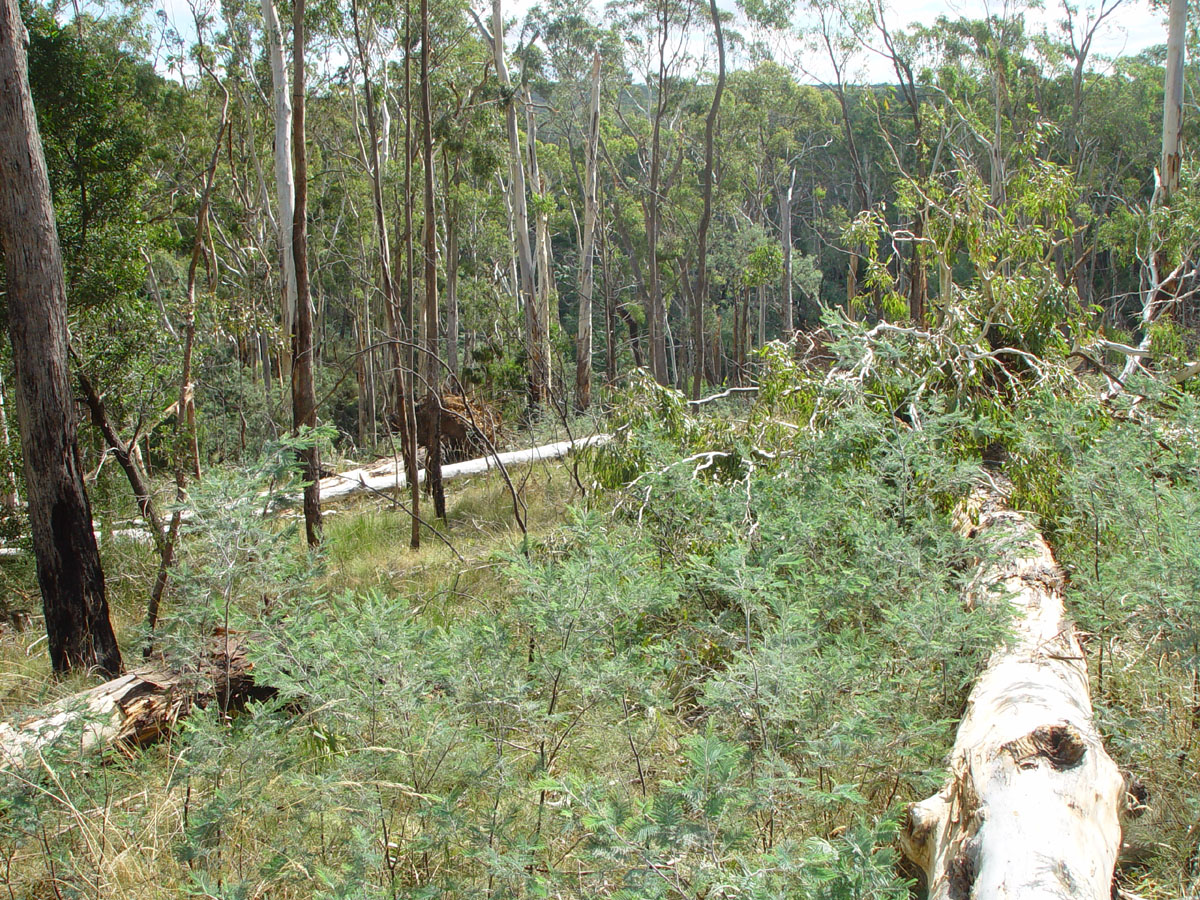
There was a similar narrow path of destruction through some forest
on the Blampied-Kooroochean Road. This doesn't line up with
the wind direction and the path of damage through Daylesford, so I
guess there were several such "mini-tornados".
This mini-tornado is listed in the interactive map in this November 2015 Guardian web page by Nick Evershed - with two events listed, for Creswick and Daylesford, both with "Fujita scale (intensity) 0".
This is one of several pages concerning Daylesford and places nearby. The index for those pages is here: ../.
~~~ooo000ooo~~~